
Ron Thomas/iStockphoto.com
151.0 miles:
3 hours,
53 minutes
You’ll travel the backroads of New England on this trek through the Berkshires of Massachusetts and the Green Mountains of Vermont. Quaint country inns, steepled churches and weathered barns—some predating the Revolutionary War—dot the roadside. While the mountain vistas are dazzling year-round, the rich crimsons and golds of autumn enhance this winding scenic drive.
FLICKR/Doug Kerr
1
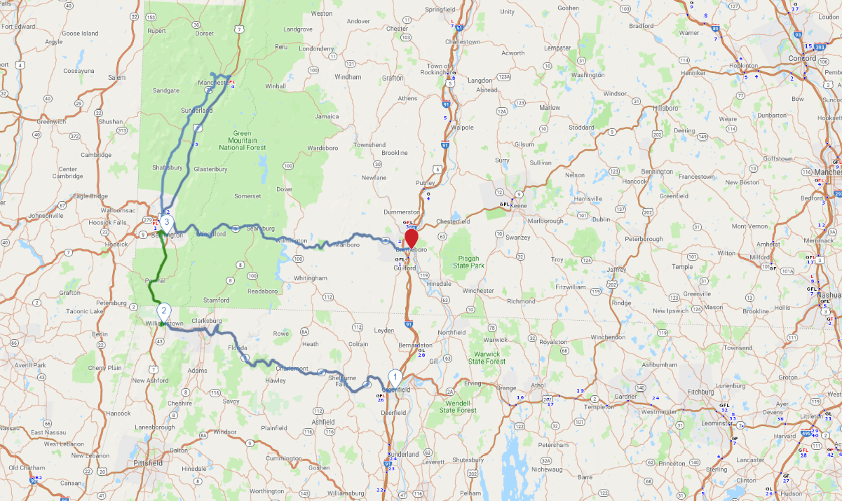
Greenfield, MA to Williamstown, MA
42.8 miles:
1 hours,
11 minutes
SR 2 traverses the Mohawk Trail, which originated as a Native American footpath; it was declared a scenic byway in the early 1900s. At an elevation of 2,272 feet, the highest point along the road is Whitcomb Summit. Sweeping views of the Taconic and Green Mountain ranges are followed by a descent to the trail’s famous hairpin turn.
Kenneth Canning/iStockphoto.com
2
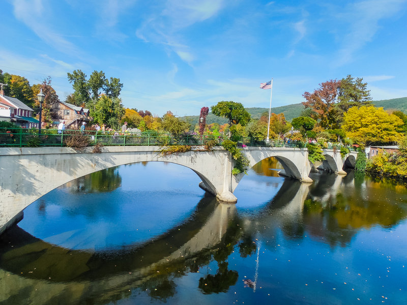
Williamstown, MA to Bennington, VT
17.1 miles:
31 minutes
From SR 2, the trip heads north on US 7 into Vermont and Green Mountain National Forest, abundant with mossy glades of oak, maple and pine. The "Green Mountain Boys," a division of the Vermont militia, put this region on the map when they captured Fort Ticonderoga in 1775. Along with its Revolutionary War history, Bennington is known for its glazed stoneware.

Michael Levy/iStockphoto.com
3
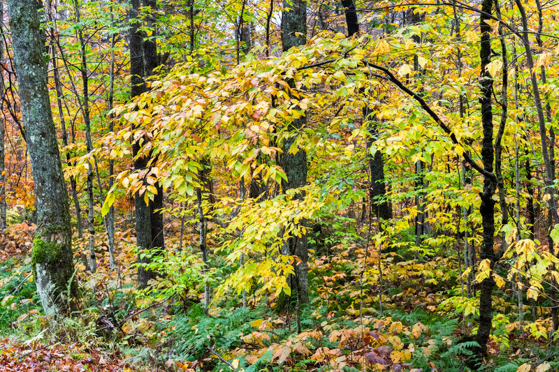
Bennington, VT to Brattleboro, VT
91.1 miles:
2 hours,
11 minutes
SR 9, aka the Molly Stark Trail, dips and climbs through Green Mountain National Forest. Just past Searsburg (which is famously home to a wind turbine farm) is the Harriman Reservoir, or Lake Whitingham. Created in 1923, the body of water boasts a surface area of 2,039 acres. Your tour ends in Brattleboro, the site of Vermont's first permanent English settlement.

